


LEET TWP DIST 02, Allegheny County, Pennsylvania
About
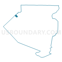
Outline

Summary
| Unique Area Identifier | 656178 |
| Name | LEET TWP DIST 02 |
| County | Allegheny County |
| State | Pennsylvania |
| Area (square miles) | 1.38 |
| Land Area (square miles) | 1.38 |
| Water Area (square miles) | 0.00 |
| % of Land Area | 100.00 |
| % of Water Area | 0.00 |
| Latitude of the Internal Point | 40.57340040 |
| Longtitude of the Internal Point | -80.20285960 |
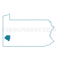
Maps

Graphs
Select a template below for downloading or customizing gragh for LEET TWP DIST 02, Allegheny County, Pennsylvania


Neighbors
Neighoring Voting District (by Name) Neighboring Voting District on the Map
- BELL ACRES Voting District, Allegheny County, PA
- EDGEWORTH DIST 02, Allegheny County, PA
- LEET TWP DIST 01, Allegheny County, PA
- LEETSDALE DIST 01, Allegheny County, PA
Top 10 Neighboring County Subdivision (by Population) Neighboring County Subdivision on the Map
- Edgeworth borough, Allegheny County, PA (1,680)
- Leet township, Allegheny County, PA (1,634)
- Bell Acres borough, Allegheny County, PA (1,388)
- Leetsdale borough, Allegheny County, PA (1,218)
Top 10 Neighboring Place (by Population) Neighboring Place on the Map
Top 10 Neighboring Unified School District (by Population) Neighboring Unified School District on the Map
Top 10 Neighboring State Legislative District Lower Chamber (by Population) Neighboring State Legislative District Lower Chamber on the Map
Top 10 Neighboring State Legislative District Upper Chamber (by Population) Neighboring State Legislative District Upper Chamber on the Map
Top 10 Neighboring 111th Congressional District (by Population) Neighboring 111th Congressional District on the Map
Top 10 Neighboring Census Tract (by Population) Neighboring Census Tract on the Map
- Census Tract 4460, Allegheny County, PA (1,680)
- Census Tract 4470, Allegheny County, PA (1,634)
- Census Tract 4390, Allegheny County, PA (1,388)
- Census Tract 4480, Allegheny County, PA (1,218)